Services
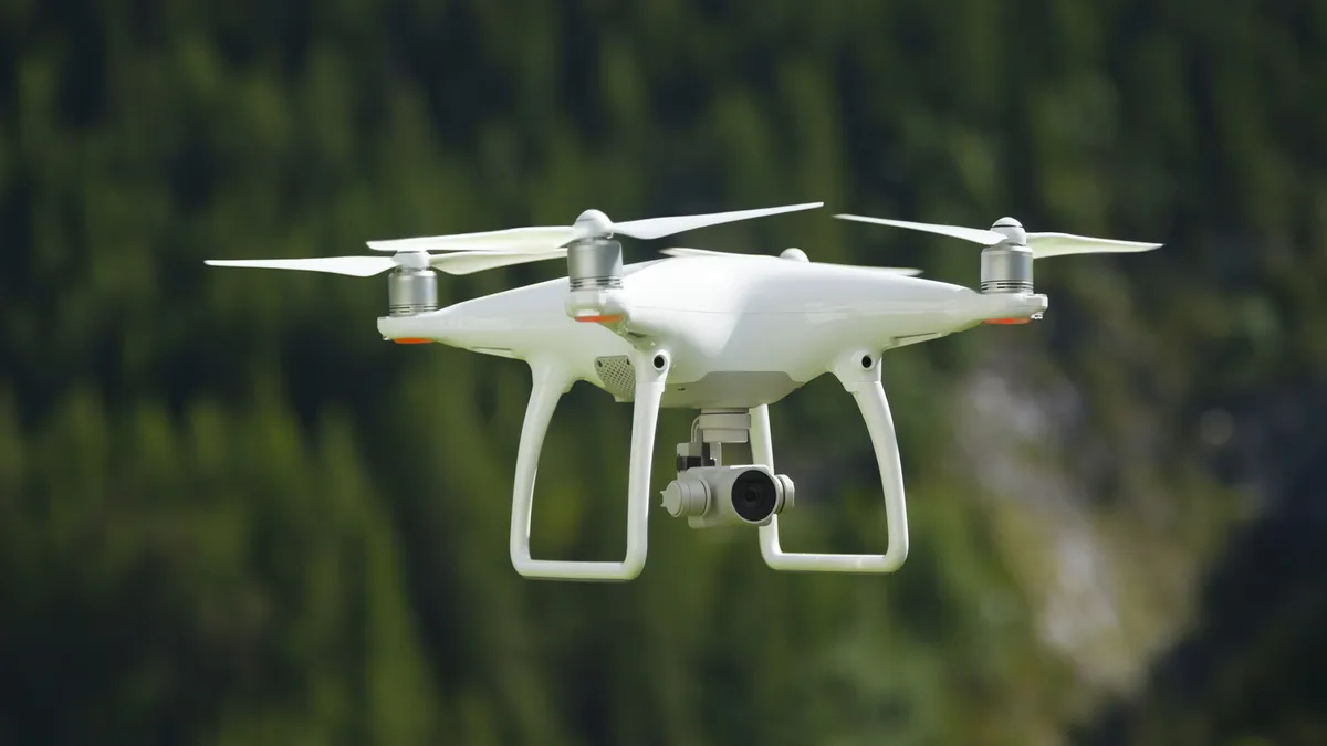
Enterprise spatial data, reality modelling, and flexible DJI drone rental from Vision Plus — one team for capture, processing, training, and hire. High-accuracy capture, processing, and advisory services for surveying, engineering, agriculture, and infrastructure teams. Browse our service offerings below or contact us for a tailored quote.
Showing 3 results
Vision Plus
Reality Capture & Spatial Data Acquisition
High-accuracy spatial data capture for reliable survey, engineering, design, and asset management workflows.

Vision Plus
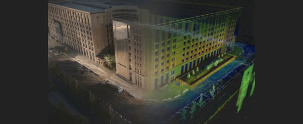
Spatial Data Processing & Validation
Transform raw captures into GIS-ready spatial datasets and digital twins, reducing rework and site revisits.

Vision Plus
Training & Technical Advisory
Improve your operational capability and sustainable adoption through expert reality capture consulting.