Product gallery
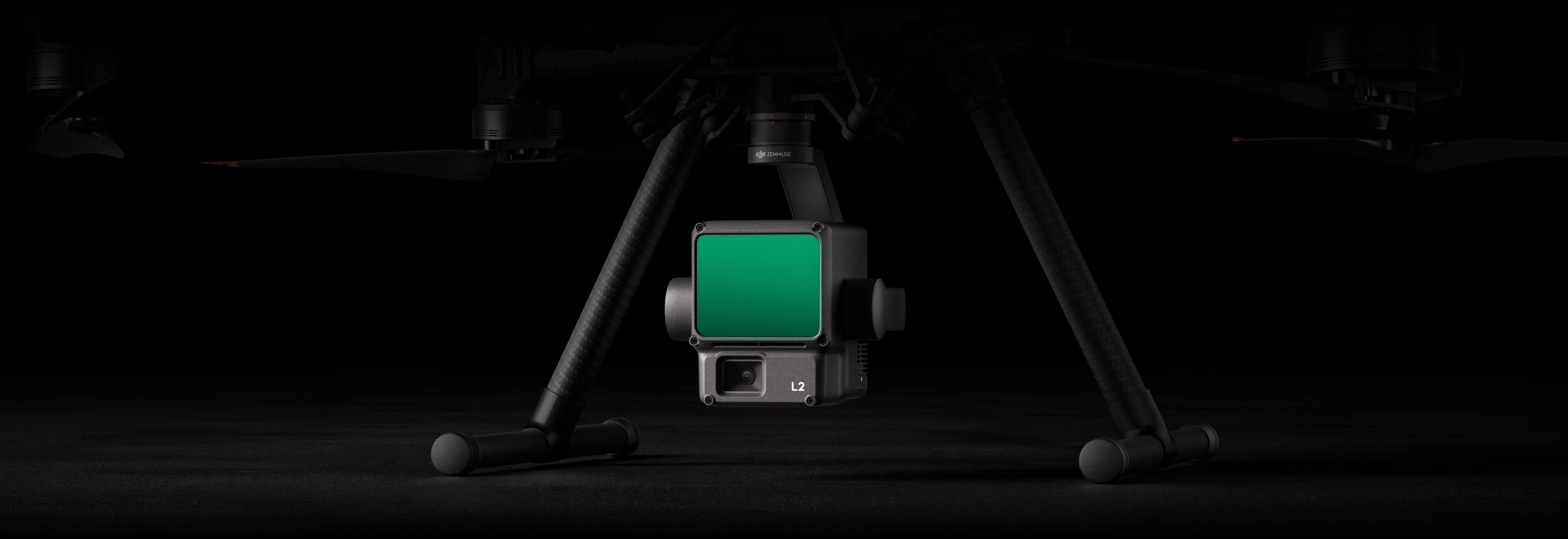
Integrated LiDAR Solution
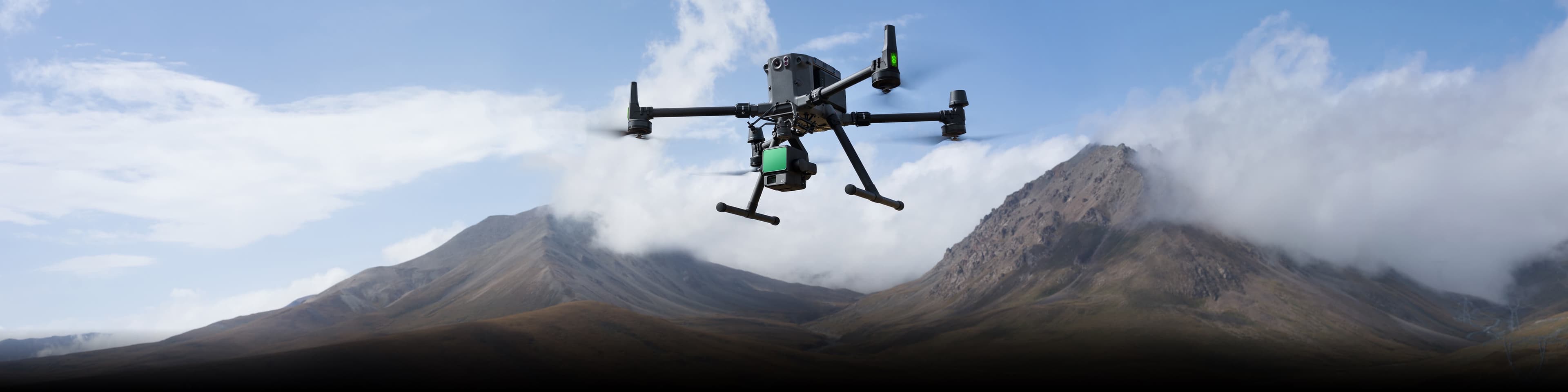
Supported by its powerful hardware, L2 can allow for a precise scan of complex subjects within an extended range and faster point cloud acquisition. During operations, users can preview, playback, and process point cloud models on-site, with Task Quality Reports generated by DJI Terra, offering a simple, one-stop solution to improve overall efficiency. This enables users to achieve high-precision point cloud results with one-stop post-processing.
High-Level Precision
By combining GNSS and a high-accuracy self-developed IMU, this solution achieves 4cm vertical accuracy and 5cm horizontal accuracy.
Exceptional Efficiency
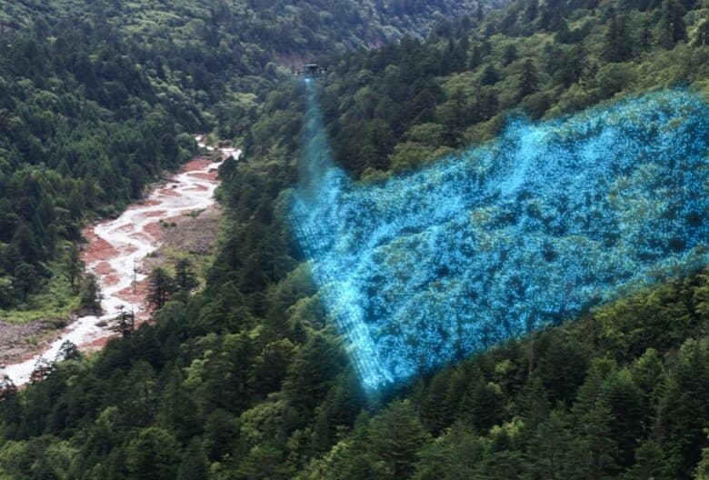
It’s ready for work as soon as it’s powered on and can collect both geospatial and RGB data from a 2.5km2 area in a single flight.
Intuitive Operation
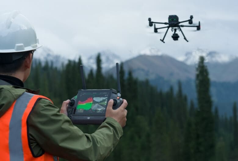
In conjunction with Matrice 350 RTK (or Matrice 400), DJI Terra, and DJI Modify, L2 offers a turnkey solution that is simple to use, lowering the operational threshold.
Frame-Based LiDAR
30% Detection Range Increase
L2 can detect from 250 meters at 10% reflectivity and 100 klx, and up to 450 meters at 50% reflectivity and 0 klx.The typical operational altitude now extends up to 120 meters, notably enhancing operational safety and efficiency.
Smaller Laser Spots, Denser Point Clouds
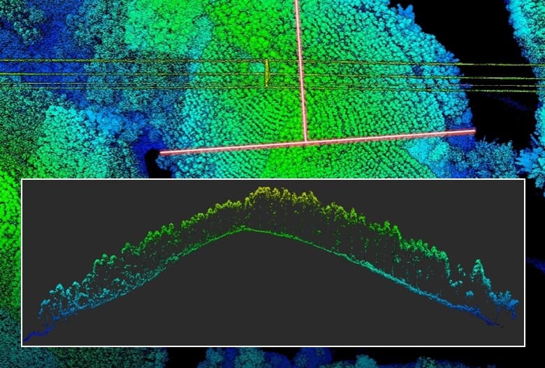
With a reduced spot size of 4×12 cm @100m, only a fifth of that of L1, L2 not only detects smaller objects with more details, but can also penetrate denser vegetation, generating more accurate digital elevation models (DEM).
Two Scanning Modes
L2 supports two scanning modes, offering flexibility for users based on their task demands. In repetitive scanning mode, L2's LiDAR can achieve more uniform and accurate point clouds while meeting high-precision mapping requirements. In non-repetitive scanning mode, it offers deeper penetration for more structural information, making it suitable for power line inspection, forestry surveying, and other scenarios.
High Precision
Vertical Accuracy: 4 cm; Horizontal Accuracy: 5 cm
Exceptional Efficiency
2.5 km2 covered in a single flight
Superior Penetration
Smaller laser spots, denser point clouds